
Expedition to Honduras
February 10-24, 1997
Free images of Flags of Nations
Meteorite? Crater? Fireball?
Devastation? Landslide?
The story
On December 15, 1996, Associated Press issued a report
entitled "Meteorite blasts 165-foot-wide crater in Honduras".
Similar reports were found in
Honduran press. The meteorite should have impacted at the slope
of the hill Cerro Negro near the city of San Luis on November 22,
1996 around 10pm local time. The published photographs, however,
looked more like a landslide than like a crater. At the beginning
of January we received the first scientific report from María
Cristina Pineda de Carías, the director of the Astronomical
Observatory of the Universidad Nacional Autónoma de
Honduras. It was clear that an extremely bright and probably
meteorite dropping fireball was really observed in Honduras that
evening. Nevertheless, the directions were inconsistent with the impact
on Cerro Negro.
Following the invitation of María Pineda to investigate the
event more closely, and after solving the visa problem, I started
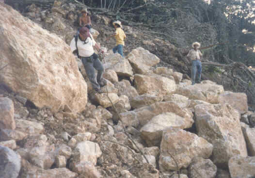
the expedition on February 10. During the first week, the scientists
Adriana Ocampo (USA), Edward Tagliaferri (USA) and Ramón Rivera
(Honduras) also participated in the expedition. The common effort
was concentrated on getting testimonies from eye witnesses, field
investigation including the feature on Cerro Negro, collecting samples.
A popularization in the local media was also made aiming to obtain
reports on meteorite falls. As we found that the fireball approached
the Honduran-Guatemalan border, Guatemala was also visited for two days.
Photographs from the expedition
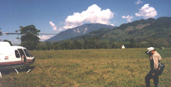
People on the expedition (3 pictures)
at the map ,
landing ,
showing meteorites
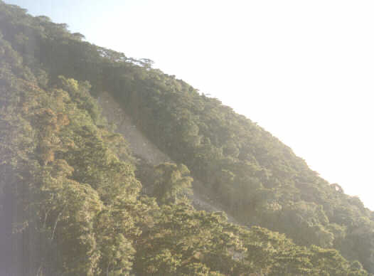
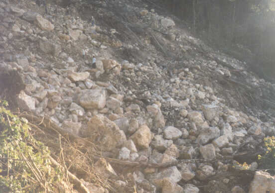
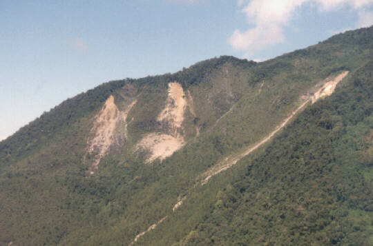
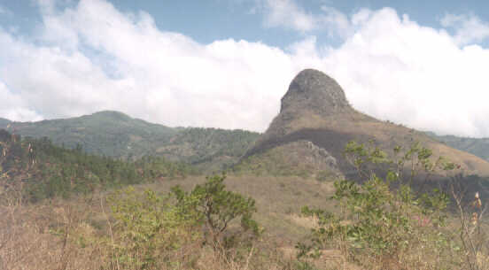
Landslide on Cerro Negro (3 pictures)
general view ,
closer view ,
detail
Landslides on Cerro Azul (2 pictures)
general view ,
detail
Possible meteorite from El Progreso
(1 picture)
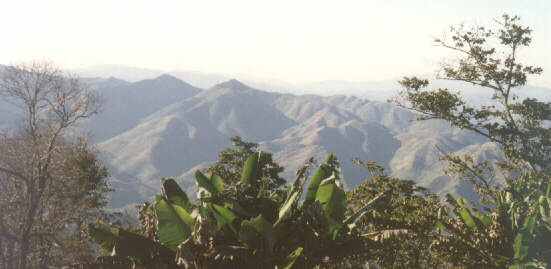
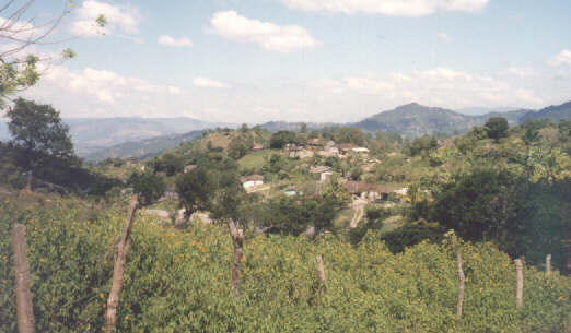
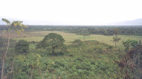
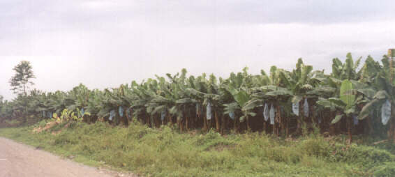
Landscapes of Honduras and Guatemala
(5 pictures)
Santa Barbara ,
Copan ,
Chiquimula ,
Motagua valley ,
Motagua valley detail
Results
The data from the expedition are being analyzed and the results
will be published. Some facts are evident:
- No meteorite impacted on Cerro Negro. The fireball passed 50 km
away (see the maps) and was only projected
above Cerro Negro as seen from San Luis. The feature on Cerro Negro
is a huge landslide on a steep slope (45 deg) and was reportedly
formed few days before the fireball passage.
- The only meteorite-impact-like event was reported from the city
of El Progreso. The fall of a small stone (2cm) from the sky to the yard
of a house was observed. However, this occurred on Nov 22 afternoon
and the location is also not consistent with the fireball trajectory.
Moreover, the material is not similar to any known type of meteorite.
The stone disintegrated into a few pieces of ash in the months after
the fall. The sample is currently being analyzed.
- Very bright meteor really crossed the sky over Honduras. Strong
sounds were produced and a smoke trail was formed. Meteorite falls
are almost certain but no meteorite was recovered yet.
My main task was to retrieve the fireball trajectory and estimate the
meteoroid parameters. I have already formulated the
report dealing with fireball trajectory,
brightness, mass, the prospects of meteorite recovery etc. Meteorites
as large as 0.5m in diameter could be present in Guatemala. The location
is roughly plotted on the map.
Jiri Borovicka, March 13-19, 1997
Back to Jiri Borovicka's home page
|