
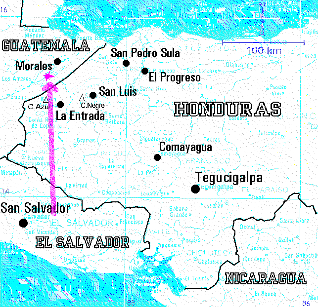
The map below provides a more precise plot of the most probable
ground projection of the
fireball trajectory. The beginning
of the trajectory is at the altitude of 70 km, the end is 11 km
above the surface. The slope was about 19 degrees to the horizontal.
The most probable location of the largest meteorites is indicated
by the violet spot. For more details see
the report .
Indicated on the map are also the hills Cerro Negro and Cerro Azul, where
large landslides occurred probably the same week when the fireball appeared.
In El Progreso a stone fell from the sky
the afternoon before the fireball. None of these events was, however,
connected with the fireball. 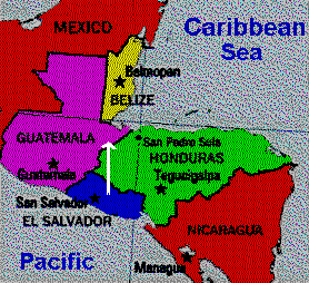 The overall view of western Central America with the fireball
position roughly indicated is given on the right.
The overall view of western Central America with the fireball
position roughly indicated is given on the right.
Back to the Honduras expedition page .